


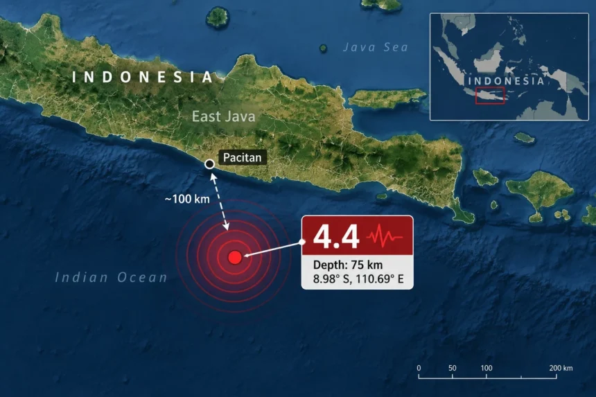
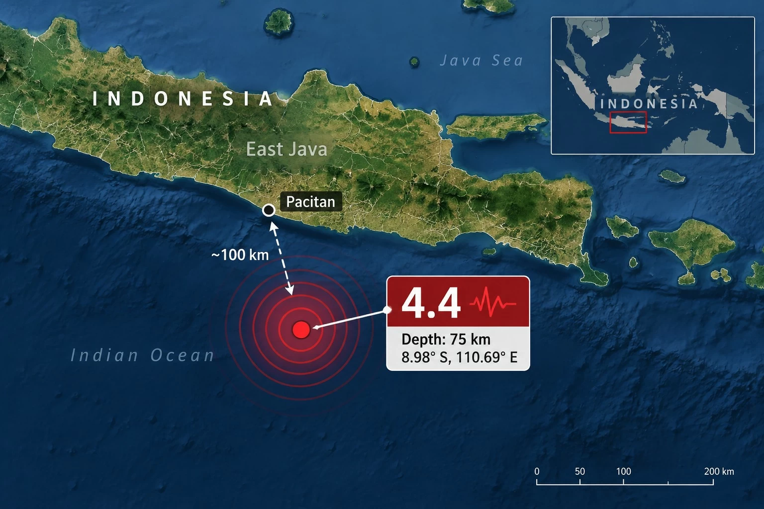
ضرب زلزال بقوة 4.4 درجات، اليوم (السبت)، منطقة بحرية قبالة سواحل إقليم جاوة الشرقية في إندونيسيا، فيما شعر بالهزة عدد من السكان في منطقة باتشيتان، بحسب بيانات هيئة الأرصاد الجوية والمناخ والجيوفيزياء الإندونيسية.
مركز الزلزال في البحر
وأفادت الهيئة بأن الزلزال وقع عند الساعة 6:53 مساءً بالتوقيت المحلي لغرب إندونيسيا، وحددت مركزه عند خط عرض 8.98 درجة جنوباً وخط طول 110.69 درجة شرقاً.
ويقع مركز الهزة في البحر على بعد نحو 100 كيلومتر جنوب غربي باتشيتان، إحدى مناطق إقليم جاوة الشرقية، فيما بلغ عمق الزلزال نحو 75 كيلومتراً.
السكان يشعرون بالهزة
وسجلت هيئة الأرصاد الإندونيسية شدة الزلزال عند المستوى الثاني «II» على مقياس ميركالي المعدل في باتشيتان، وهو مستوى يشير إلى اهتزاز خفيف قد يشعر به بعض الأشخاص، ولا سيما داخل المباني.
ولم تتضمن البيانات الرسمية الأولية إشارة إلى وقوع إصابات أو أضرار مادية نتيجة الهزة.
لا تحذير من تسونامي
ولم تصدر السلطات الإندونيسية تحذيراً من أمواج تسونامي مرتبطاً بالزلزال، فيما تواصل الجهات المختصة رصد النشاط الزلزالي وتحديث بيانات الهزات الأرضية بصورة مستمرة.
نشاط زلزالي متكرر
وتقع إندونيسيا ضمن منطقة «حلقة النار» في المحيط الهادئ، التي تشهد نشاطاً زلزالياً وبركانياً متكرراً نتيجة التقاء عدد من الصفائح التكتونية، ما يجعل الزلازل من الظواهر المتكررة في الأرخبيل الإندونيسي.
A 4.4 magnitude earthquake struck today (Saturday) in a maritime area off the coast of East Java province in Indonesia, with some residents in the Pacitan area feeling the tremor, according to data from the Indonesian Meteorology, Climatology, and Geophysics Agency.
Epicenter of the earthquake in the sea
The agency reported that the earthquake occurred at 6:53 PM local time in western Indonesia, and identified its epicenter at a latitude of 8.98 degrees south and a longitude of 110.69 degrees east.
The epicenter of the tremor is located in the sea about 100 kilometers southwest of Pacitan, one of the areas in East Java province, with the earthquake’s depth estimated at around 75 kilometers.
Residents feel the tremor
The Indonesian Meteorology Agency recorded the intensity of the earthquake at level two “II” on the modified Mercalli scale in Pacitan, which indicates a light shaking that may be felt by some people, especially indoors.
The preliminary official data did not indicate any injuries or material damage as a result of the tremor.
No tsunami warning
The Indonesian authorities did not issue a tsunami warning related to the earthquake, while the relevant agencies continue to monitor seismic activity and update earthquake data continuously.
Recurring seismic activity
Indonesia is located within the “Ring of Fire” in the Pacific Ocean, which experiences recurring seismic and volcanic activity due to the convergence of several tectonic plates, making earthquakes a frequent phenomenon in the Indonesian archipelago.