


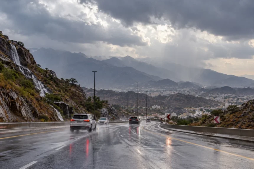
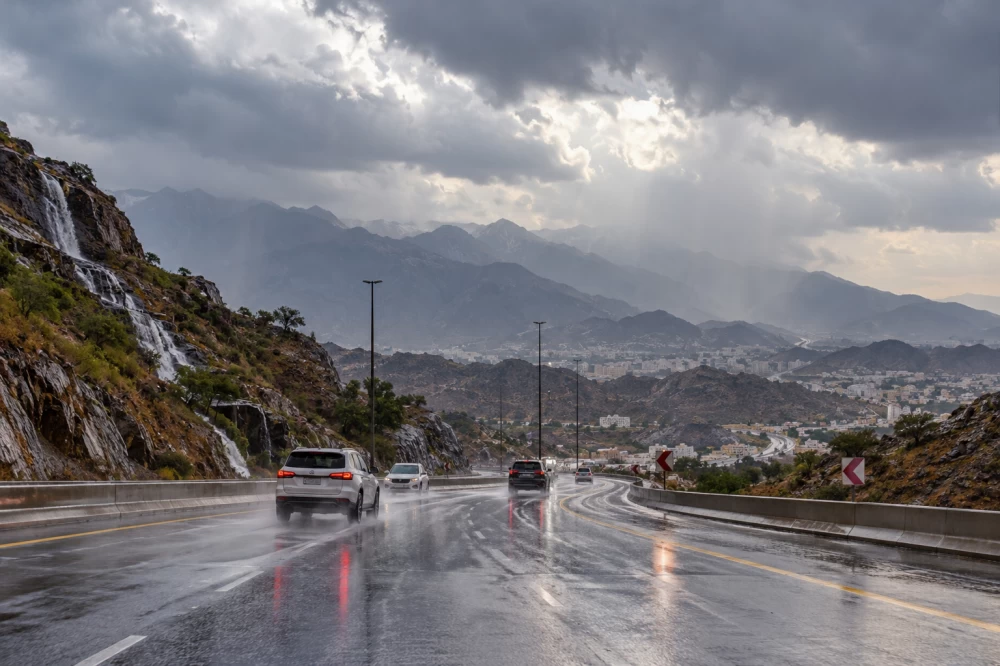
توقع المركز الوطني للأرصاد في تقريره عن حالة الطقس اليوم (الأربعاء)، استمرار هطول أمطار رعدية متوسطة إلى غزيرة على أجزاء من مناطق جازان وعسير والباحة ومكة المكرمة، قد تؤدي إلى جريان السيول، وتكون مصحوبةً بزخات من البرد ورياحٍ نشطةٍ.
وأوضح المركز أن الفرصة مهيأة لتكون الضباب على أجزاء من المناطق المذكورة، فيما قد يصل إلى انعدام مدى الرؤية الأفقية على أجزاء من المنطقة الشرقية، خصوصاً المناطق الساحلية.
وأشار إلى استمرار فرص تكون السحب الرعدية الممطرة، المصحوبة برياح نشطة مثيرة للأتربة والغبار، على أجزاء من مناطق حائل والحدود الشمالية والشرقية.
وفي ما يتعلق بحالة البحر الأحمر، توقع المركز أن تكون الرياح السطحية شمالية غربية إلى شمالية بسرعة تتراوح بين 20 و40 كيلومتراً في الساعة على الجزء الشمالي، تصل إلى 50 كيلومتراً في الساعة باتجاه خليج العقبة، فيما تتراوح سرعتها بين 20 و40 كيلومتراً في الساعة على الجزء الأوسط، وبين 15 و30 كيلومتراً في الساعة على الجزء الجنوبي، وقد تتجاوز 60 كيلومتراً في الساعة مع تكون السحب الرعدية الممطرة.
ويتراوح ارتفاع الموج بين متر ومترين على الجزأين الشمالي والأوسط، وقد يتجاوز مترين باتجاه خليج العقبة، فيما يتراوح بين نصف متر ومتر على الجزء الجنوبي، ويصل إلى أكثر من مترين مع السحب الرعدية الممطرة.
أما في الخليج العربي، فتكون الرياح السطحية جنوبية إلى جنوبية غربية على الجزء الشمالي، تتحول مساءً إلى شمالية شرقية إلى شمالية غربية، بسرعة تتراوح بين 10 و25 كيلومتراً في الساعة، فيما تكون شرقية إلى شمالية شرقية على الجزء الجنوبي بالسرعة نفسها، وقد تصل إلى 50 كيلومتراً في الساعة مع تكون السحب الرعدية الممطرة.
ويتراوح ارتفاع الموج في الخليج العربي بين نصف متر ومتر، وقد يتجاوز مترين على الجزء الجنوبي مع السحب الرعدية الممطرة، وتكون حالة البحر خفيفة الموج عموماً، تصل إلى مائجة مع نشاط السحب الرعدية.
The National Center of Meteorology, in its weather report for today (Wednesday), predicted the continuation of moderate to heavy thunderstorm rains in parts of the Jazan, Asir, Al-Baha, and Makkah regions, which may lead to flash floods, accompanied by hail showers and active winds.
The center explained that conditions are favorable for the formation of fog in parts of the mentioned regions, where visibility may reach near zero in parts of the Eastern region, especially in coastal areas.
It indicated that there are continued chances for the formation of thunderstorm clouds, accompanied by active winds stirring up dust and sand, in parts of the Hail, Northern Borders, and Eastern regions.
Regarding the condition of the Red Sea, the center expected that surface winds would be northwesterly to northerly at speeds ranging from 20 to 40 kilometers per hour in the northern part, reaching up to 50 kilometers per hour towards the Gulf of Aqaba, while their speed would range from 20 to 40 kilometers per hour in the central part, and between 15 and 30 kilometers per hour in the southern part, potentially exceeding 60 kilometers per hour with the formation of thunderstorm clouds.
Wave heights are expected to range between one and two meters in the northern and central parts, and may exceed two meters towards the Gulf of Aqaba, while they will range between half a meter and one meter in the southern part, reaching more than two meters with the thunderstorm clouds.
As for the Arabian Gulf, surface winds will be southerly to southwesterly in the northern part, shifting in the evening to northeasterly to northwesterly, at speeds ranging from 10 to 25 kilometers per hour, while they will be easterly to northeasterly in the southern part at the same speed, potentially reaching 50 kilometers per hour with the formation of thunderstorm clouds.
Wave heights in the Arabian Gulf will range between half a meter and one meter, and may exceed two meters in the southern part with the thunderstorm clouds, while the sea condition will generally be light, reaching choppy with the activity of thunderstorm clouds.