
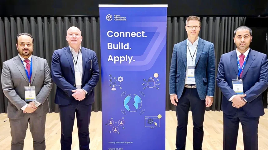
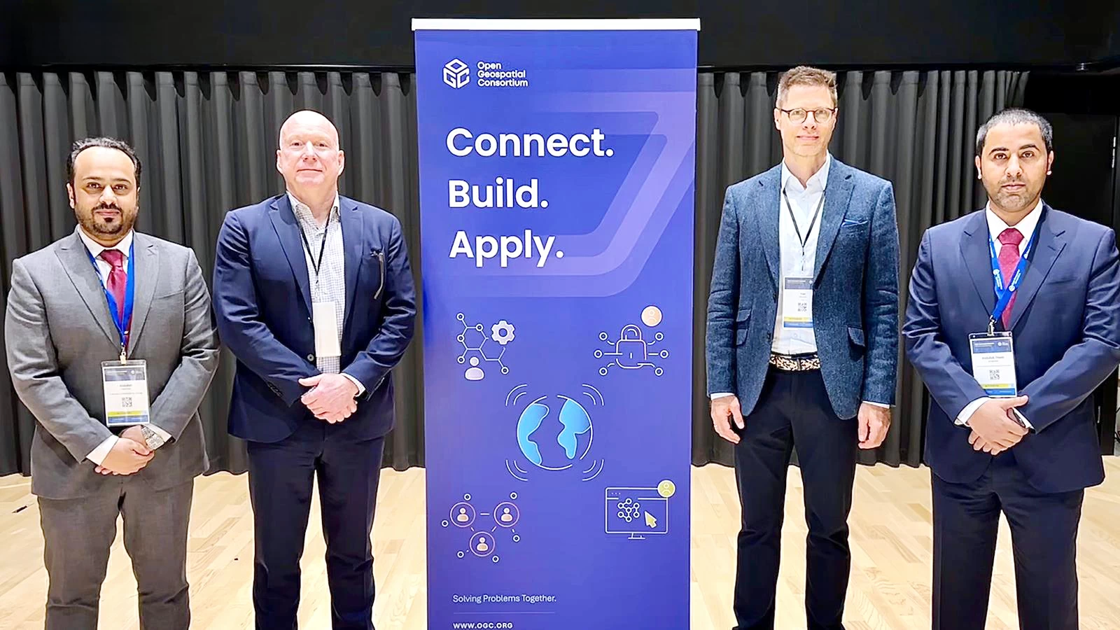
انضمت الهيئة العامة للمساحة والمعلومات الجيومكانية إلى اتحاد المعلومات الجيومكانية المفتوحة (OGC) لتكون أول شريك إستراتيجي من خارج الولايات المتحدة الأمريكية ودول الاتحاد الأوروبي، في خطوةٍ تؤكد المكانة الريادية التي تتبوأها السعودية في المجال الجيومكاني على المستويين الإقليمي والعالمي، والدور القيادي الذي تضطلع به في المنظمات واللجان الدولية ذات الصلة.
وأكدت «الجيومكانية» أن الشراكة الإستراتيجية تعكس التقدّم المتسارع للمملكة في المؤشرات والتصنيفات الجيومكانية العالمية، وتأتي نتاجًا لبناء منظومة جيومكانية وطنية متكاملة، وتُجسّد الثقة الدولية بتجربة المملكة المتقدمة في بناء وتطوير البنية التحتية الجيومكانية الوطنية، بما في ذلك حوكمة البيانات الجيومكانية الوطنية وتطوير السياسات والمعايير والمواصفات والأُطر والقدرات الجيومكانية الوطنية، وتعزيز دور المعلومات الجيومكانية في تمكين صناعة القرارات الذكية، ودعم التحول الرقمي والتنمية المستدامة والنهضة الشاملة، بما ينسجم مع مستهدفات رؤية المملكة 2030.
وتمثل الشراكة الإستراتيجية مع (OGC) امتدادًا لجهود «الجيومكانية» في تعزيز التنسيق والتعاون الدولي مع نظيراتها في الدول الأخرى والهيئات والمنظمات الدولية ذات الصلة بقطاع المساحة والمعلومات الجيومكانية والتصوير المتعلق بأعماله، وتمثيل المملكة داخليًا وخارجيًا فيما يتعلّق باختصاصاتها، وتعزيز دور المملكة في تطوير المعايير العالمية التي تشكل الأساس للتكامل بين البيانات الجيومكانية وبيانات الاستشعار عن بعد والذكاء الاصطناعي الجيومكاني وإنترنت الأشياء والتقنيات الرقمية الحديثة، بما يدعم بناء منظومة معلومات جيومكانية مستقبلية قادرة على تلبية متطلبات التنمية المستدامة وصناعة القرارات الذكية.
The General Authority for Survey and Geospatial Information has joined the Open Geospatial Consortium (OGC) to become the first strategic partner outside the United States and European Union, in a move that confirms Saudi Arabia’s leading position in the geospatial field at both regional and global levels, and the leadership role it plays in relevant international organizations and committees.
The “Geospatial” authority confirmed that the strategic partnership reflects the Kingdom’s accelerated progress in global geospatial indicators and rankings, resulting from the establishment of an integrated national geospatial system. It embodies international confidence in the Kingdom’s advanced experience in building and developing national geospatial infrastructure, including the governance of national geospatial data and the development of policies, standards, specifications, frameworks, and national geospatial capabilities. It also enhances the role of geospatial information in enabling smart decision-making, supporting digital transformation, sustainable development, and comprehensive renaissance, in line with the objectives of the Kingdom’s Vision 2030.
The strategic partnership with OGC represents an extension of the “Geospatial” authority’s efforts to enhance coordination and international cooperation with its counterparts in other countries and relevant international bodies and organizations in the field of surveying, geospatial information, and related imaging. It also aims to represent the Kingdom both internally and externally regarding its competencies and to enhance the Kingdom’s role in developing global standards that form the basis for integration between geospatial data, remote sensing data, geospatial artificial intelligence, the Internet of Things, and modern digital technologies, thereby supporting the establishment of a future geospatial information system capable of meeting the requirements of sustainable development and smart decision-making.